Fine Gael Councillor pushes to extend Riverside walkway for "the greater good"
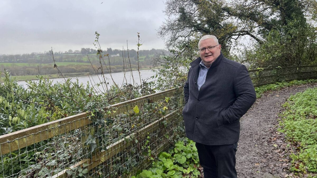
Fine Gael councillor Jim D'Arcy pictured on the Maypark trail in Ardkeen. Image: Alex Cunningham
Fine Gael councillor Jim D’Arcy has celebrated the inclusion of plans to extend the Maypark riverside walk in Waterford City and County Council's modified local development plan, labelling it a “huge boost” for Waterford.
The current riverside walk stretches from Powerscourt to Glenville, with Cllr. D’Arcy advocating for an additional one-kilometre extension that would take the trail to Newtown and exit beside Waterpark National School.
Cllr. D’Arcy said the extension would provide a safer passage into the city for schoolchildren and function as a public good - although the development would almost certainly face objections from local property owners.
“[Children] can cycle in. They could walk into school using this, that's my proposal, to take traffic off the road,” he said to the Waterford News & Star.
“My problem with your kids cycling into school is that it's too dangerous. Too many cars. We all accept that. So here's an alternative.”
The proposed extension would allow users to circumvent traffic on the Dunmore Road and service six schools with 3,200 students, according to Cllr. D’Arcy.
He likened the proposal to the Silaire Wood Loop in Graiguenamanagh, Co. Kilkenny. The loop has been built and extended with a boardwalk- something Cllr D’Arcy describes as a necessity for Waterford’s riverside walk.
The potential pinch point for the project is in Glenville, where the trail currently ends. The banks between houses built in the estate and the River Suir narrow significantly as the river moves upstream towards Newtown.
Cllr D’Arcy acknowledges that the walkway could act as fertile ground for planning objections. Recent years have seen Ireland become notorious for pro-objector legislation.
Recently released figures show that over 600 judicial reviews have been lodged against state planning body An Coimisiún Pleanála since 2020 and 135 judicial reviews have been pushed this year.
The area that stretches from the trail's current end in Glenville to the proposed new exit is classified as “affluent”, by Pobal’s HP Deprivation Indices.
Cllr. D’Arcy said communication would be key in threading the needle and completing development.
“You have a walkway your kids can cycle in, and people can walk into work. At a time when traffic is built up in the city, here's a solution. Yes, you have to break eggs to make an omelette. And some people won't be happy with that, and I’d accept that.
“We have to be considerate of them, you know, they have their beautiful views of the river, and now they're going to have a walkway at that section. And they are nice houses…but for the greater good, the time, I think has come, to do this for the city, for the right reasons.
“When you consider the money we're spending on active travel, digging up roads and putting in cycle ways that really don't go anywhere and that they're dangerous to cycle on, this is a safe way to cycle. It's a safe way to walk.”
The trail would likely have to pass through .21 hectares of land that is registered as a leasehold on Tailte Éireann’s land registry map. Land would also need to be bought through CPOs (Compulsory Purchase Orders) to complete the trail, which could stymy progress.
“Some of the land will have to be either donated to the city in exchange for a wall or protection for their privacy, or it would have to be CPOs. Some land will have to be CPOs, I accept that.
“The property owners that will need to conceive property here, they haven't been consulted either. Yes, it's assumed that they will object, because, if it was me, I can understand why they would if it was my property.
"But maybe, a lot of them won't. Maybe a lot of them will see that this is for the greater good.”
Waterford City and County Council have not yet ringfenced funding for the walkway extension. The council have allocated €17 million for Active Travel schemes for 2025.
The next steps will involve costing the scheme and planning the appropriate route.


