Areas along Waterford coast highly exposed to coastal hazards, new study says
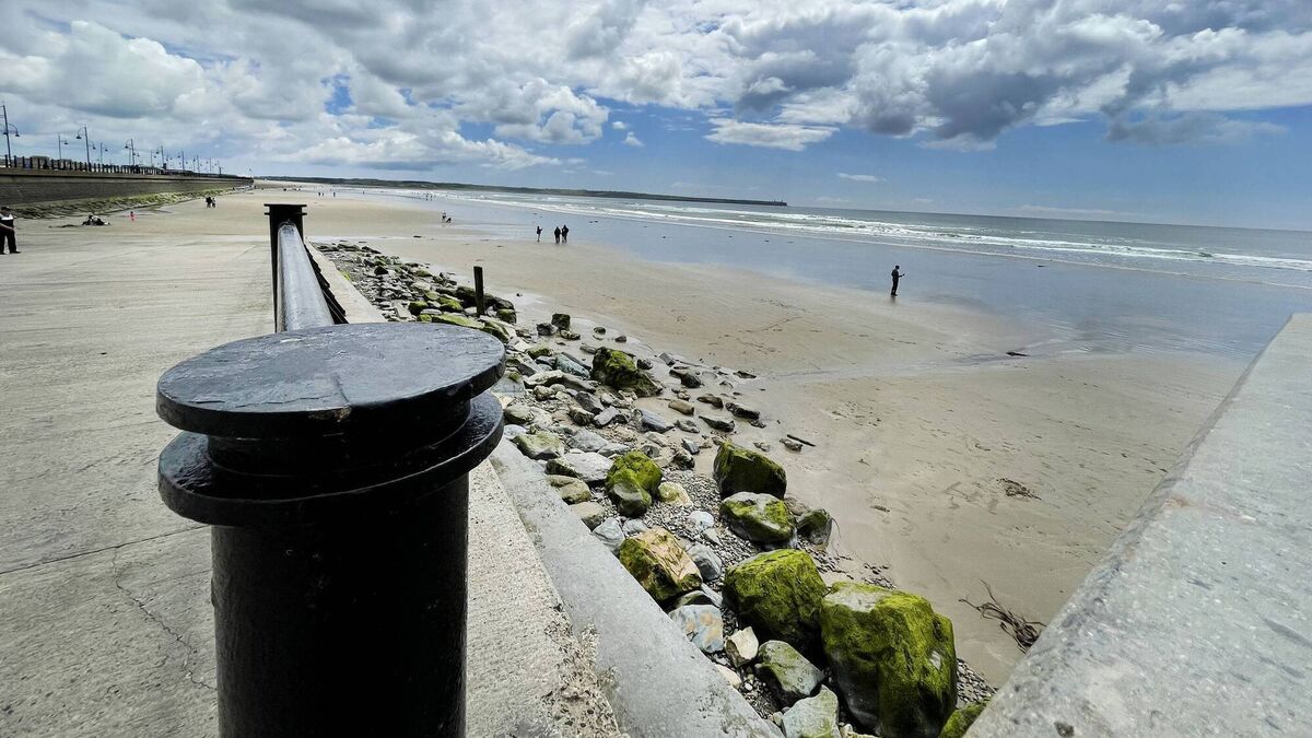
The map identifies a mix of high and very high exposure points along Tramore Strand
Recent findings from a University College Cork study show that almost 40% of Ireland’s coastline is in danger from serious coastal erosion, including many of Waterford's beaches and bays.
As part of this studytarget="_blank" rel="noopener noreferrer">, researchers launched an interactive online map that the public can use to explore coastal exposure and climate hazards across Ireland to better understand the risks facing coastal areas locally.
The map, which is the first national map of Ireland’s exposure to climate hazards, identifies the stretches of coastline facing the greatest pressures, providing new evidence to support coastal management and climate adaptation, with multiple areas across County Waterford at a very high exposure level.
The research, led by UCC researchers, assessed approximately 8,575km of Ireland’s coastline at 250-metre intervals, bringing together 30 years of wind and wave data with information on sea-level rise, storm surges, shoreline type, coastal relief and natural habitats.
The findings identified Tramore, Dungarvan, Ardmore, Clonea Beach and other areas in Waterford as very high exposure points, with many high and moderate exposure points also recorded across the county's coastline.
Extreme winds, coastal flooding and coastal erosion are the climate hazards which pose the greatest risk to Ireland, the study says, with erosion leading to loss or damage to property, infrastructure, or habitats, widely reported along parts of the east and southeastern coastlines, according to the report.
Study lead Kevin Walsh, geoscientist and researcher in the DETECT project at UCC, said: “This research gives us, for the first time, a consistent picture of relative climate exposure right around Ireland’s coastline. What is particularly clear is that exposure varies considerably from place to place, meaning effective adaptation must take account of local coastal conditions.
“Our findings underline the significance of Ireland’s natural coastal habitats as a critical line of defence against climate hazards. Dunes, salt marshes, machair and seagrass can help protect our coastline, communities and heritage from growing climate pressures. Protecting and restoring these habitats must be a priority in Ireland’s coastal adaptation response, alongside other approaches to coastal adaptation.”
The researchers aim is for the national Coastal Exposure Index to help government, policymakers, local authorities and coastal communities identify areas that may require closer assessment and support the prioritisation of adaptation measures and resources.
Dr Aaron Lim, Senior Lecturer in Marine Geosciences at UCC College of Arts, Celtic Studies and Social Sciences and Head of the Earth and Ocean Lab, said: “This research gives Ireland a unique opportunity to be proactive rather than reactive. For the first time, we can identify where exposure to coastal climate hazards is greatest and use that evidence to guide national strategy and targeted regional action.
“The decisions we make over the coming decade will shape how well our communities, infrastructure, businesses and cultural heritage can adapt to rising seas, coastal flooding and erosion."