Storm to bring destructive winds and risk of flooding to Waterford
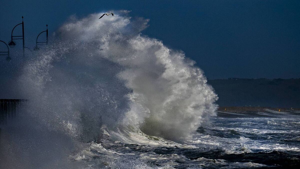
When Storm Kathleen visited Tramore. Storm Bram is the latest named storm expected. Photo: Joe Evans
Met Éireann has issued a Status Orange Wind warning for Waterford as Storm Bram is expected to bring strong to gale force southerly winds.
The Status Orange Wind warning will be in effect from 7am to 3pm on Tuesday, December 9. A Status Yellow Rain warning is also in place for Waterford from 9pm this evening (Monday, December 8) to 9am on Tuesday, December 9.
Storm Bram will bring very strong to gale force winds, with winds strongest in coastal areas. Impacts include flooding, wave overtopping, difficult travelling conditions, fallen trees and debris and disruption and cancellations to transport services and events.
Waterford City and County Council’s severe weather assessment team attended a Virtual National Emergency Coordination Group briefing on Monday morning and is advising the public that Storm Bram will be a multi-hazard event, bringing destructive gale-force southerly winds and potential flooding.
Gabriel Hynes, A/Director of Services with Waterford City and County Council urged the public to exercise caution during the duration of this orange weather warning.
“Storm Bram has potential to be a particularly strong and damaging storm. We would urge the public to heed all public safety advice and not make any unnecessary journeys, as travelling conditions will be extremely difficult and dangerous. The strong winds will lead to fallen trees, branches, and debris on the roads, making journeys extremely hazardous.
“If you must travel, motorists are advised to slow down, be mindful of vulnerable road users such as pedestrians and cyclists, increase stopping distances and watch for surface water and debris on the roads. Motorists should also avoid driving through flowing or standing water as the depth of the water can be deceptive.”
As coastal water levels are high there is also a risk of wave overtopping, and the public is advised to stay away from all coastal areas and adhere to the messaging from the Irish Coast Guard to stay back, stay high and stay dry.
With strong winds and high astronomical tides, a tidal surge is also forecast to occur, and the following precautionary measures will be put in place with flood defence barriers activated in:
- Waterford city from 5pm this evening
- Passage East from 5pm this evening
- The Prom in Tramore will close at 5pm this evening
The following car parks in Dungarvan, Co. Waterford, are also at risk of flooding and will be closed to the public from 5pm this evening and motorists are advised not to leave their cars overnight at:
- Davitt’s Quay
- The Pond
- The Lookout
- Castle Street Carpark
Waterford City and County Council’s severe weather assessment team will continue to monitor the situation and Council ground crews will be on stand-by to deal with issues as they arise. Sandbags will also be made available to the public at Waterford City and County Council’s Machinery Yard in Dungarvan and at the depot in Carrickphierish in the city.
Waterford City and County Council's Integrated Homeless Services Severe Weather Protocol is also in operation, with extra bed capacity available at McGwire House. The Outreach Team from Waterford Integrated Homeless Services has been in contact with any known rough sleepers to advise them of the shelter arrangements.
Members of the public can contact Waterford City and County Council’s Customer Services Desks on 0818 10 20 20 during normal office hours after which calls will be transferred to the Council’s emergency services number.


