Weather to remain unsettled through the week with cooler temperatures
Kenneth Fox
Met Éireann is forecasting unsettled conditions for the week ahead, with overall cooler temperatures than in previous weeks.
A mix of cloud and bright or sunny spells for a time on Monday, with scattered showers.
Becoming mostly cloudy later with showers or longer spells of rain pushing up from the south on Monday afternoon and evening.
Some heavy, potentially thundery downpours are possible, bringing a risk of spot flooding, especially in the southeast. It will be humid, with highest temperatures of 19 to 24 degrees, in light to moderate easterly winds, becoming mainly southeast on Monday afternoon.
After a mostly cloudy and misty start to Tuesday, with patchy rain and drizzle in parts, sunny spells will gradually develop along with scattered showers.
Some of the showers will be heavy and thundery, especially over parts of Connacht and Ulster. Continuing to be humid, with highest temperatures of 18 to 23 degrees, coolest in the northwest, and light to moderate southwest to west winds.
Overall, the national forecaster said a mixed and unsettled week is in store. Rather humid at first but turning cooler from midweek.
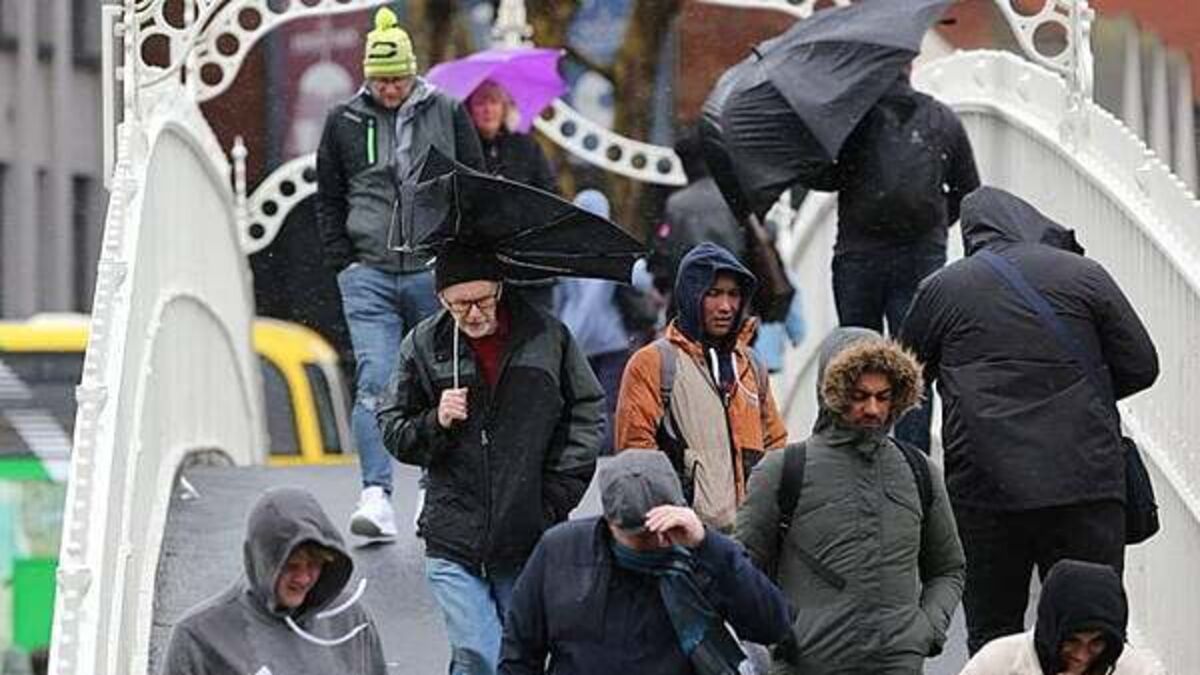
It will be cooler and rather windy on Wednesday. Current indications suggest it will be damp and unseasonably blustery with outbreaks of rain and drizzle affecting Ulster and mainly northern parts of Connacht and Leinster, accompanied by fresh to strong and gusty westerly winds.
The rain will be heaviest in west and north Ulster with the potential for spot flooding there. Brighter and drier conditions further south, with a mix of sunny spells and scattered showers and mostly moderate to fresh west to northwest winds.
Highest temperatures of 14 to 19 degrees. Rain or showers will ease and become increasingly confined to western and northern coasts on Wednesday night, leaving variable cloud and clear spells. Westerly winds will ease light to moderate overnight. Lowest temperatures of 8 to 11 degrees.
There will be a mix of sunny spells and scattered showers for Thursday.
Cloud will increase near Atlantic coasts towards evening with patchy rain and drizzle developing. Highest temperatures of 15 to 19 degrees in a light to moderate westerly breeze.
Some bright or sunny spells on Friday in the east and south at first, but mostly cloudy conditions elsewhere, with outbreaks of rain and drizzle spreading southeastwards through the day, becoming lighter and patchier as it does so.
Highest temperatures of 16 to 19 degrees with light to moderate southwesterly winds freshening near western and northwestern coasts later.
Mixed and unsettled conditions look set to persist at first, with low pressure continuing to dominate. A chance of more settled conditions developing later in the weekend.
A mix of cloud & bright spells for a time today, Monday, with scattered showersð¦ï¸
Mostly cloudy later with showers or longer spells of rain pushing up from the Sð§ï¸
Some heavy, potentially thundery downpours are possible, bringing a risk of spot flooding, especially the SEâï¸ pic.twitter.com/Trj6gcbD2A
— Met Éireann (@MetEireann) August 3, 2026