Thunderstorm warning issued for 16 counties
Michael Bolton
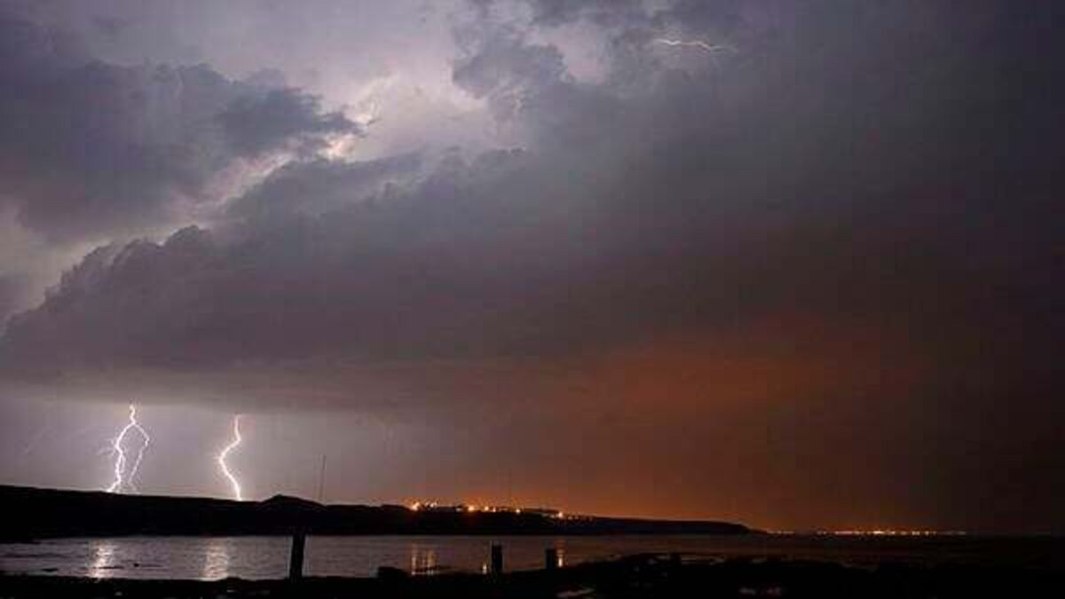
Met Éireann has issued a yellow thunderstorm warning for 16 counties on Friday morning.
A warning has been issued for Cavan, Donegal, Monaghan, Clare, Tipperary, Connacht, Kildare, Laois, Longford, Meath, Offaly, and Westmeath
Met Éireann has warned of localised flooding, lightning damage, hail, difficult driving conditions and gusty winds.
The Road Safety Authority has advised motorists to slow down and allow a greater braking distance between you and the vehicle in front, take alternative routes if roads are flooded, and drive with dipped headlights at all times.
The warning comes as Ireland had its hottest day of the year on Thursday.
A status yellow high temperature warning remains in place until 9am on Saturday.
The National Directorate for Fire & Emergency Management have met with key stakeholders due to the weather warnings across the country.
Director Keith Leonard emphasised; “There are two separate weather-related risks that the public needs to consider over the next 48 hours: the dangers associated with extreme high temperatures and the increased risks associated with heavy thunderstorms.
“This risk exists for all of Ireland, but with a higher potential for impacting on the midlands, west and north west this evening and into Friday.
"The public is therefore encouraged to remain weather aware and be prepared to take action if conditions deteriorate in their area.”
Met Éireann said it will be hot and humid across the country.
The highest temperature recorded in Ireland was 33.3C at Kilkenny Castle on June 26th, 1887.
The highest temperature recorded in Ireland on Thursday was 32.1 degrees in Athenry, Co Galway
Friday will continue to be warm and humid, with the risk of thundery showers.
Highest temperatures of 23 to 29 degrees, warmest across the midlands, east and northeast, but a few degrees cooler in the northwest and near the south coast.
Saturday will see outbreaks of rain in the west will gradually spread eastwards over the country on Saturday.
There will still be some drier and brighter interludes, these probably at their best in the east and northeast during the morning. Highest temperatures of 17 to 23 degrees, warmest in the east and northeast.
Sunday will bring a mix of sunny spells and scattered showers, he showers will be mainly in the west and north at first but they'll spread elsewhere in the afternoon and evening. Highest temperatures range from 15 degrees in the west to 20 degrees.


